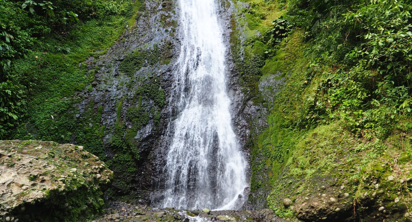
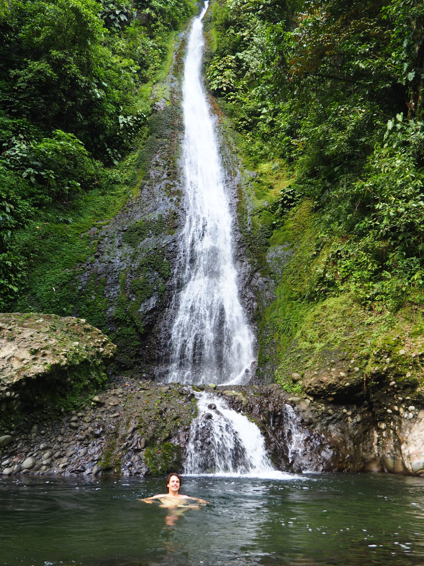
WHAT: Hiking one of Costa Rica's most rugged reserves: Hitoy-Cerere Biological Reserve. End station
within the park would be a beautiful waterfall.

WHERE: Hitoy-Cerere is only about 60km south of Puerto Limón. Just before Cahuita, turn right at the
gasstation of Penshurt. The road to the reserve is not marked so you have to constantly check if you
take the right route. Maps.me and locals will help you out.

HOW LONG: An entire day, for driving there and the hike. The hike itself will take around 3-4 hours,
including a break at the waterfall.

HOW MUCH: Entrance is $10,- for foreigners.
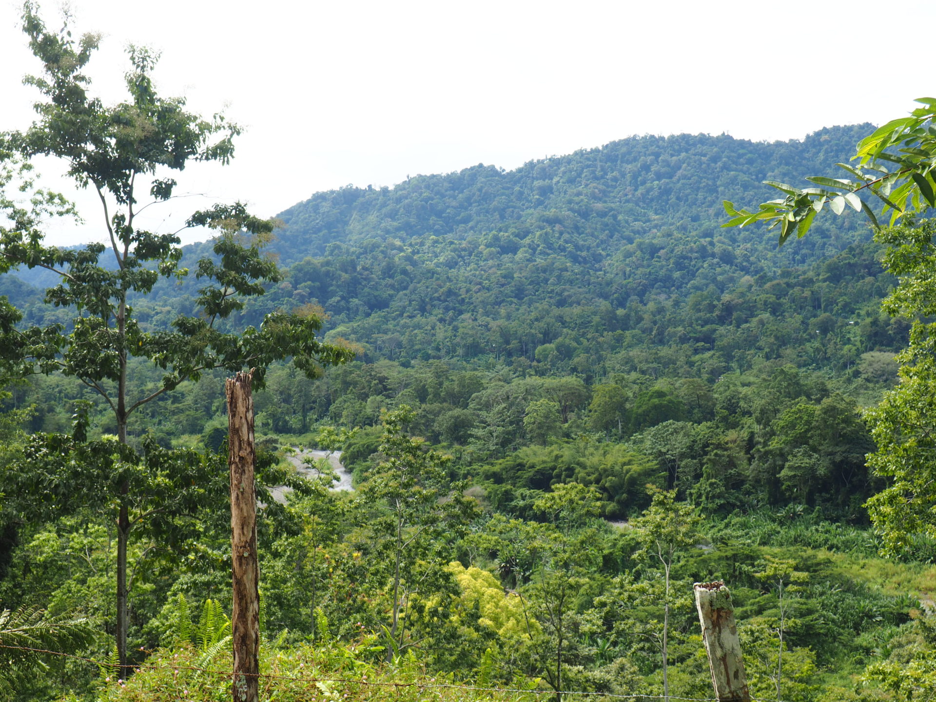
Hitoy-Cerere is one difficult fellow when it comes to national parks in Costa Rica. It’s situated within the La Amistad Caribe Conservation Area and is located on the back hills of the Talamanca Mountain Chain, characterized by varying altitudes, evergreen forests and rushing rivers. Named from the Bribri words hitoy, which means something like ‘fluffy’ (referring to the moss that covers the river rocks) and cerere, which means clean water, the Hitoy Cerere Biological Reserve is an undeveloped park that offers both few facilities and a great wilderness adventure. The accessibility to the park is poor and the road from the ranger station towards its end destination -a gorgeous waterfall- is very rugged. So.. all the more fun to get there!
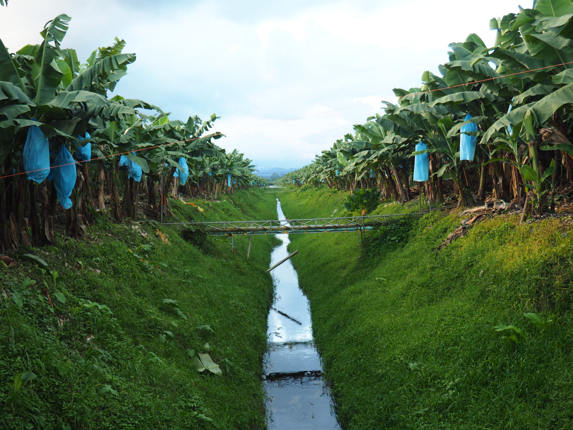
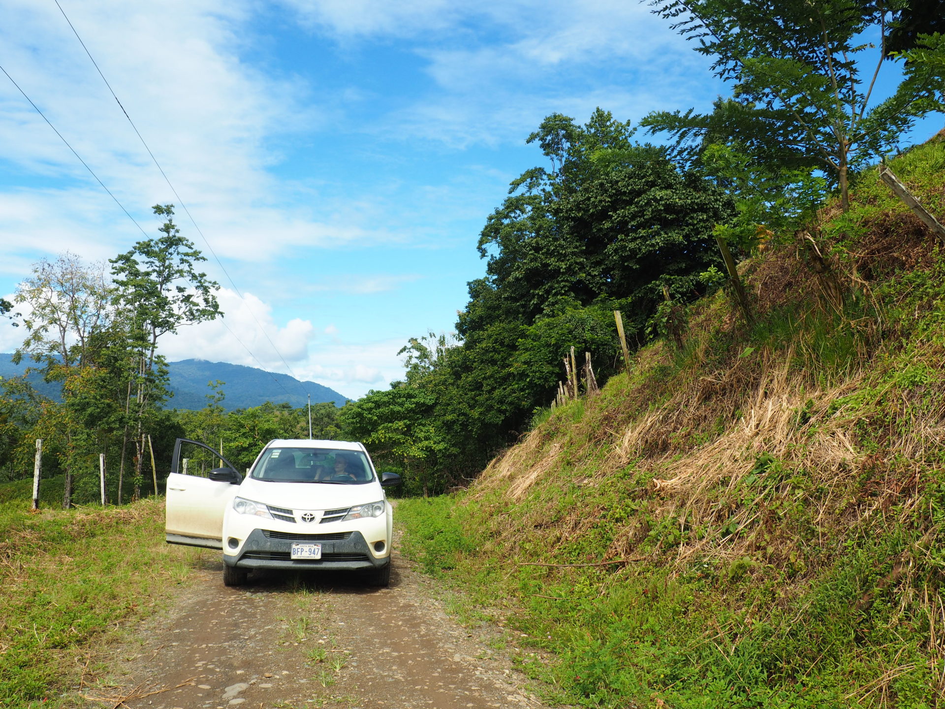
Once we get in Penshurt we turn right and drive for about an hour through enormous banana plantations, small plantation villages and hilly dirtroads. The reserve is surrounded by some of the country’s most remote indigenous reserves, such as Talamanca, Tayni and Telire. Don’t drive this road with a normal car, you simply won’t make it if there’s been a little rain.
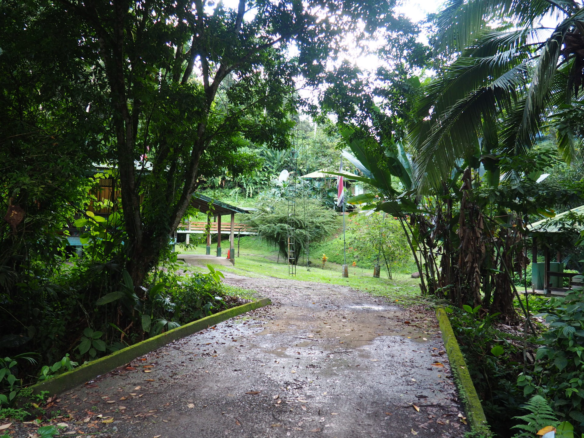
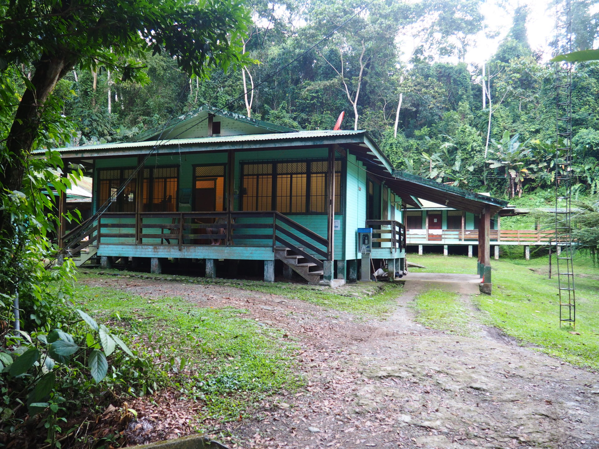
We already heard that the park has few annual visitors and is relatively unknown. Still, it was a weird experience getting to the ranger station, writing down our names and find out that the guy at the counter hasn’t seen any visitors in the last two weeks. What a weird job that is, waiting for so few visitors. Absolutely very pura vida..
We start our hike, and from the moment we begin it’s difficult to find a path. The explanations at the ranger station weren’t very clarifying either. Hiking is permitted throughout the reserve; however, we figure out it is best to walk alongside the stream, towards the left.
Later on we try to avoid a deep creek by walking up a hill, which turns out to be a very bad decision. The forest itself on both sides of the river is quite dense and often impenetrable. After we get caught by countless spider webs we decide it might be better to return to the river.
Due to its limited amount of visitors, a lot of pristine and varied wildlife can be found in the area. The reserve protects more than 40 mammal species, including endangered ones such as ocelots, silk anteater, tapir, peccary, otter, margay and the tayra. You can also encounter pacas, agouti, rabbits, howler and white face capuchins, raccoons, white nosed coati and squirrels. If you enjoy bird watching, you even can spot over 300 bird species, if you’re lucky.
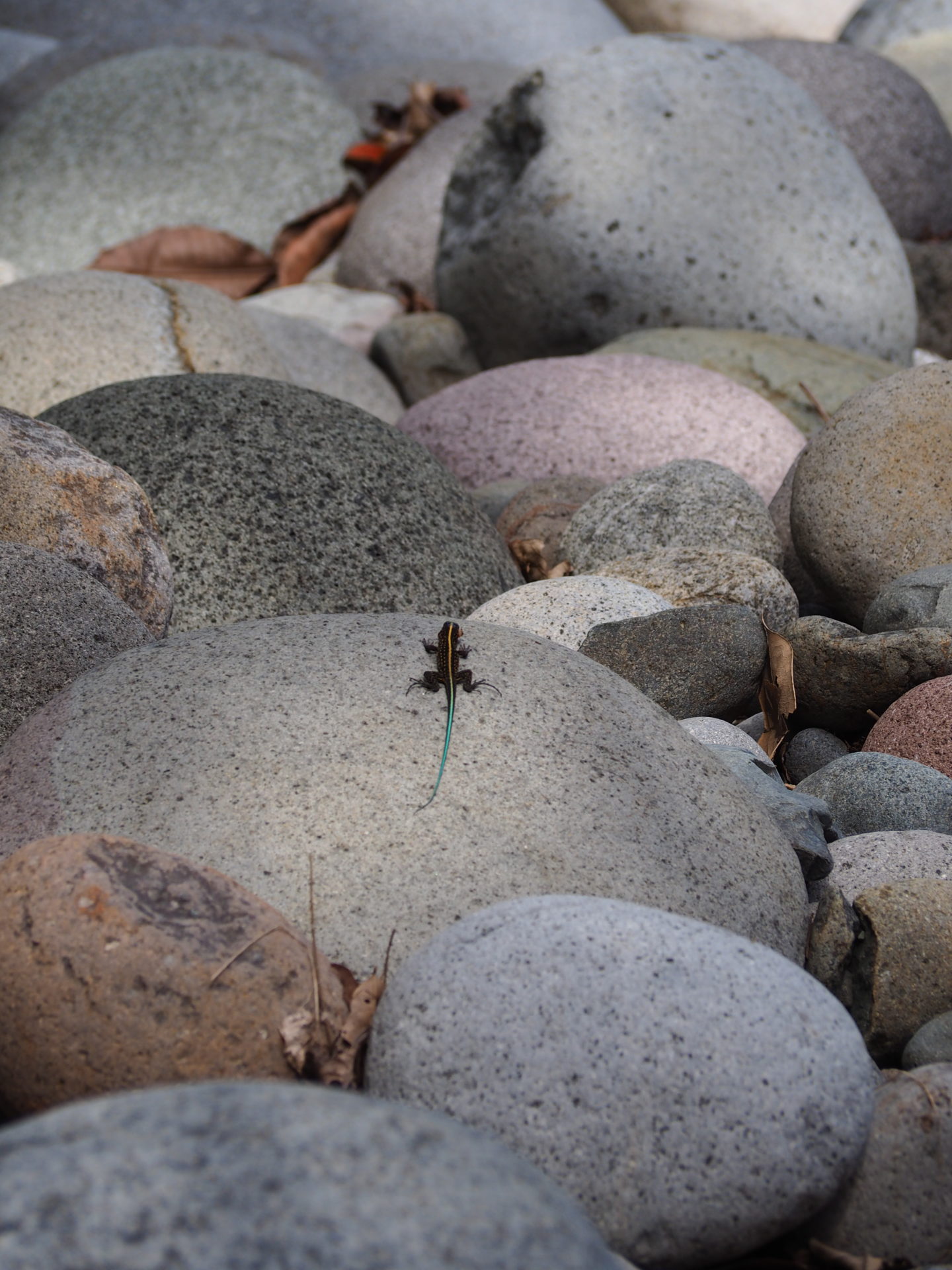
We clearly aren’t. Apart from a tree snake and a lot of birds (oropendola, toucans), we mainly encounter insects. Perhaps it’s the timing of our visit, during the hottest hours of the days, that works against us. If you want to see a lot of birds, always go early in the morning.
The rest of the road is steep and slippery. This means you gotta walk very slow, and sometimes have to figure out how to cross a high river. The humid tropical climate doesn’t contribute to the easiness, but once you get to the waterfall, you can have an awesome cooldown. For those who like adventure and are able to walk a very difficult path, a visit to Hitoy-Cerere is recommended. Though it might be a smart idea to hire a local guide to help you navigate in the park and to point out the wildlife.
What to bring:
- 4W drive
- A strong sense of hiking
- Big boots, or anything gear that can get wet
- Umbrella or swimming wear: this may be one of the wettest reserves, with a humid tropical climate
and a pre-mountain pluvial forest. Rainiest months: July, November and December. Although when we
went in December, we had a very sunny day.
- Repellent
- Navigation in case you get lost (or even better: a guide)
- Snacks: although there is a ranger station at the reserve entrance with bathrooms, there are no
other facilities nearby.