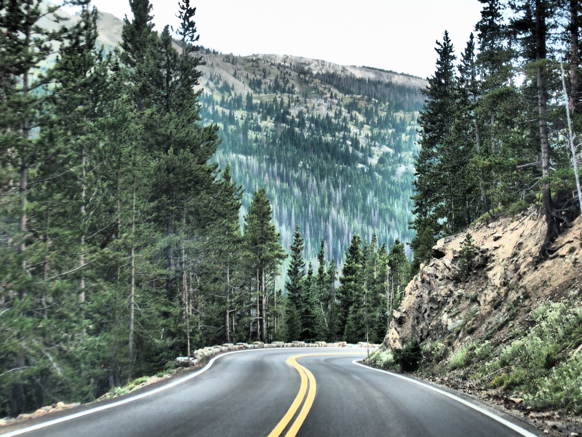
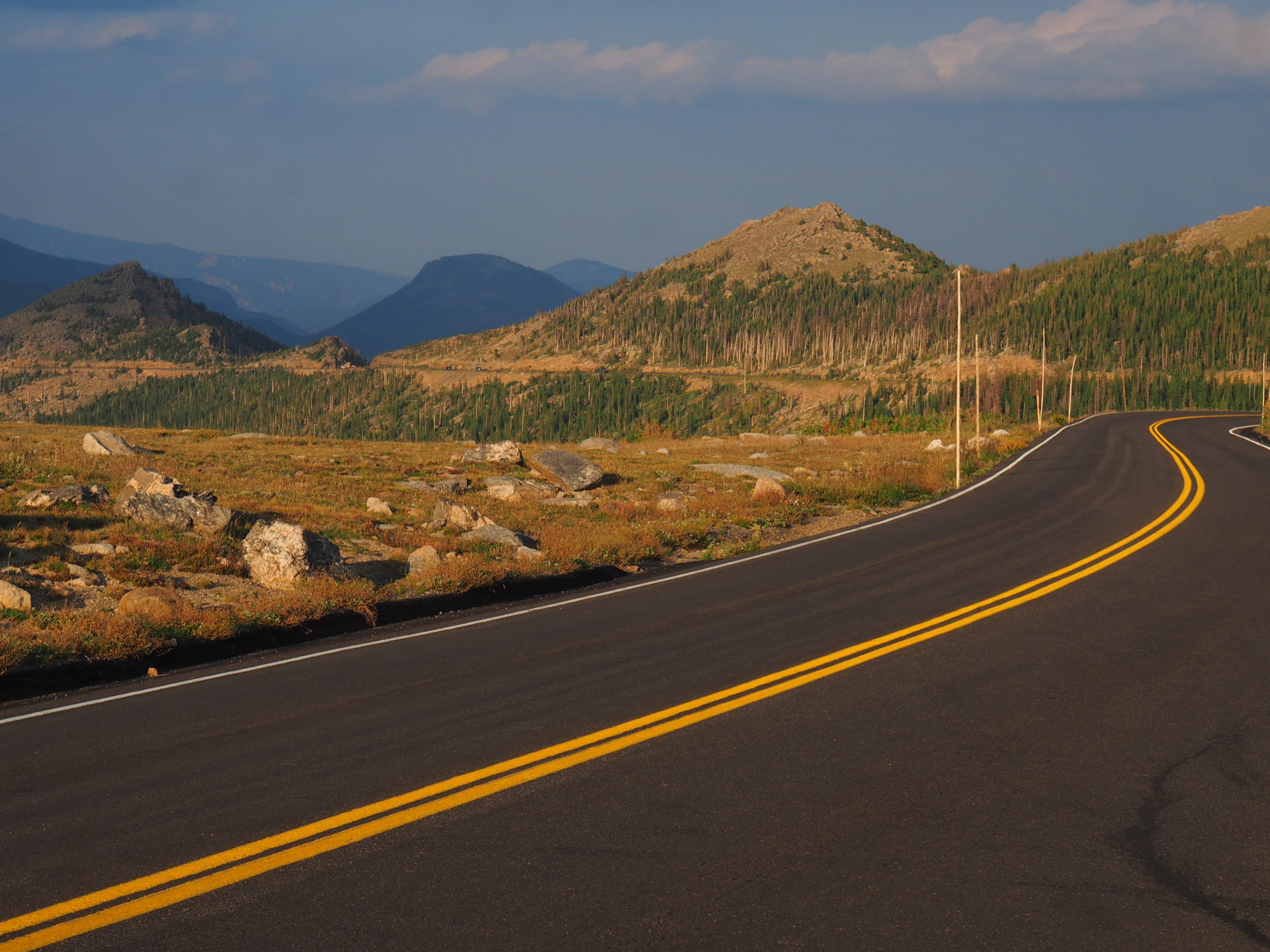
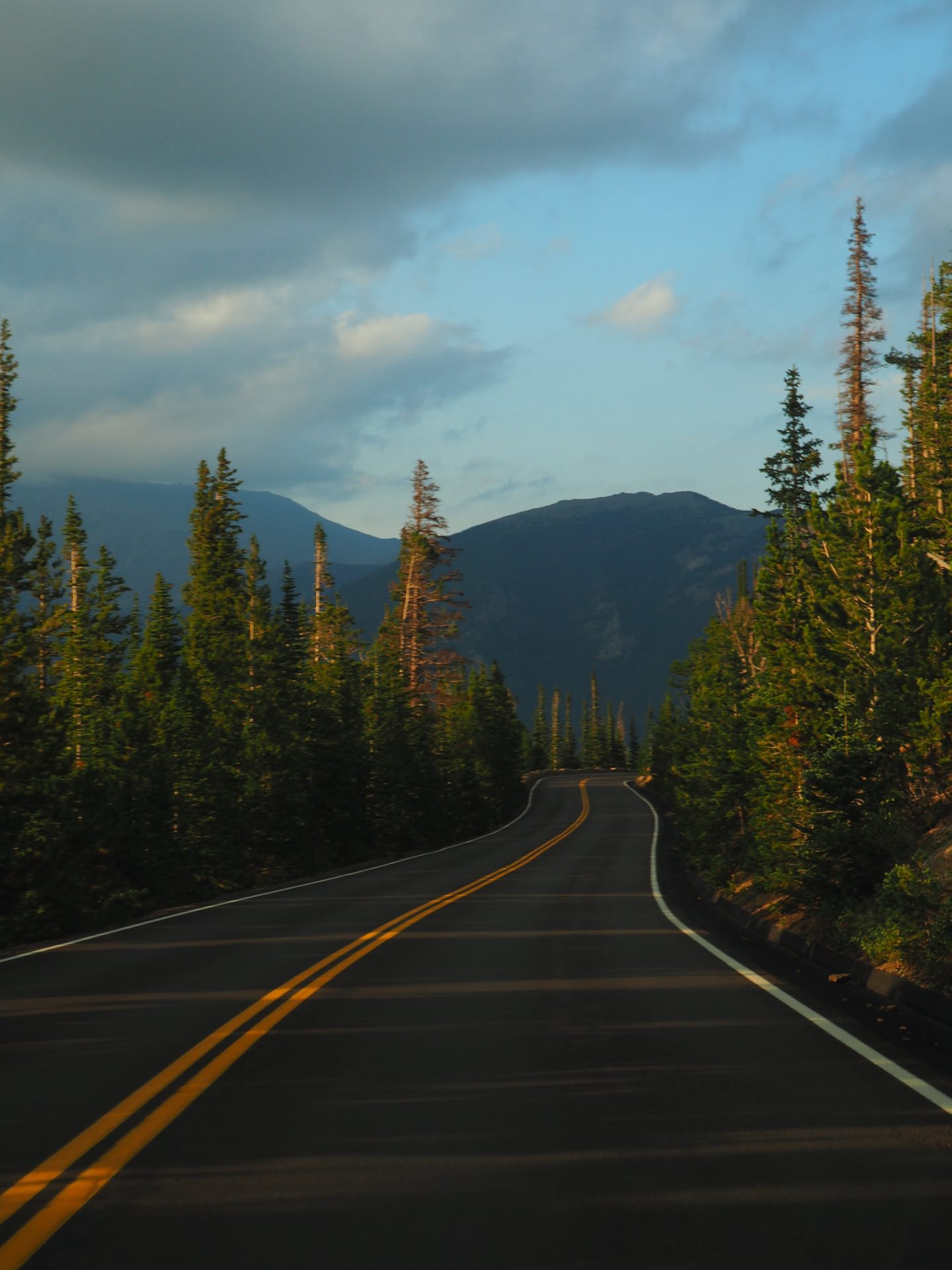
If you’ve only got one day, or aren’t in the mood for hiking, but you would like to get a superb glimpse of Rocky Mountain National Park you just háve to drive the Trail Ridge Road. I personally saw it as a great way of getting an overview of the park on my first day in RMNP.
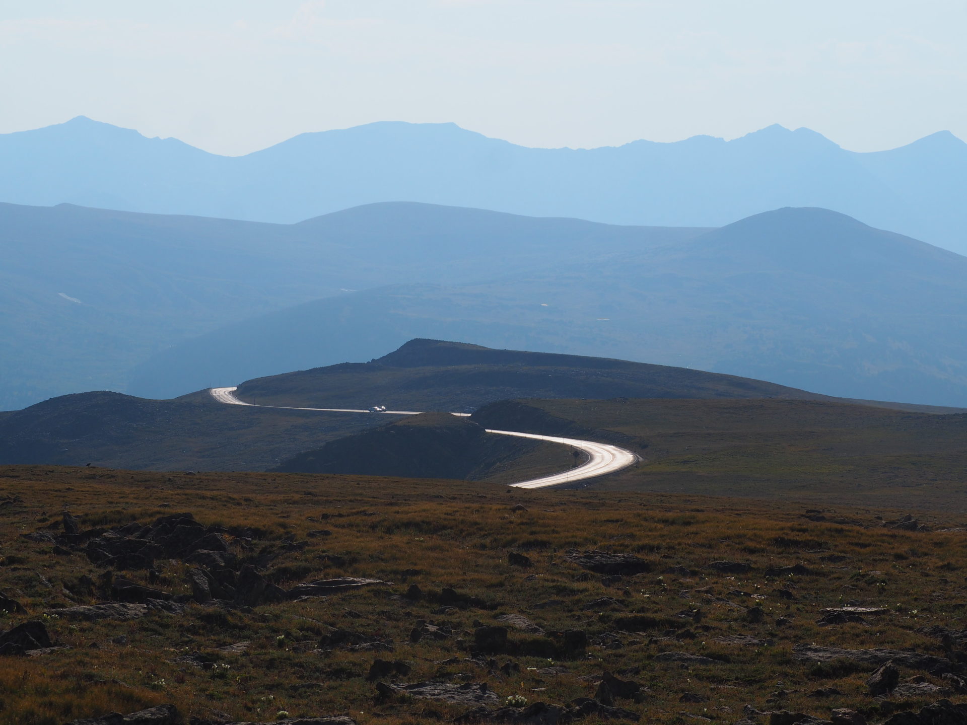
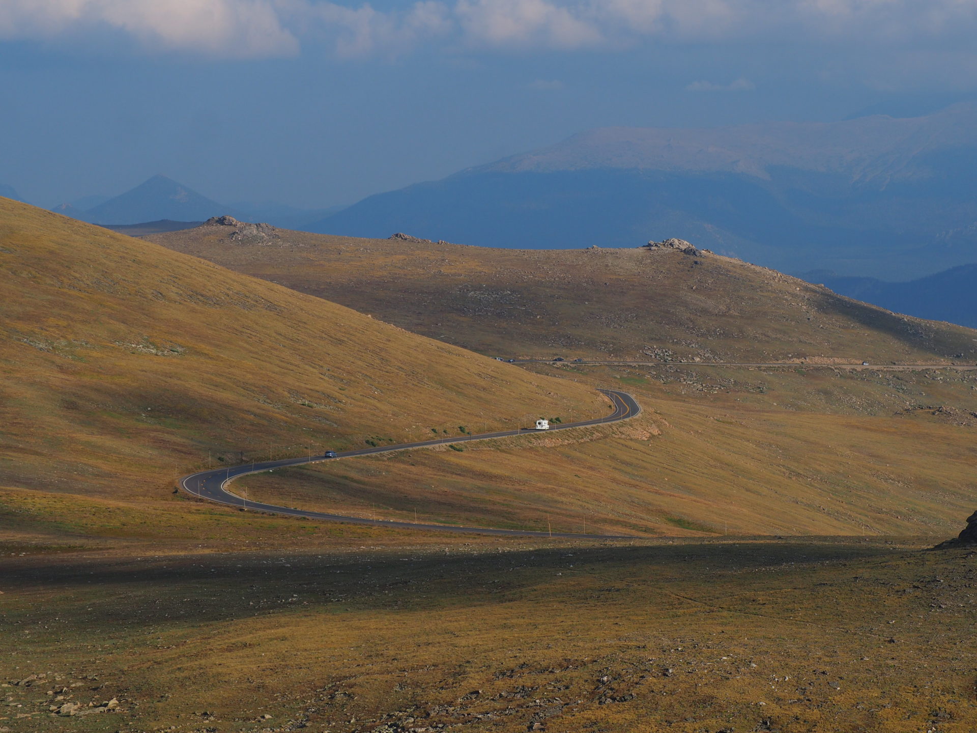
The Trail Ridge Road is dubbed as the “highway to the sky”. For a reason obviously. This highest continuous paved road in the USA brings you from the green aspen valleys all the way up to the freezing cold alpine tundra. At the highest point, the Trail Ridge road reaches 12.183 ft / 3.7 km. Pretty insane right?
I’d recommend you to drive the road at the end of the day. Not only will there be far fewer people (excellent in terms of parking spots), you might encounter more animals because of that too. To top that off, the last rays will provide some superb colours on the surrounding forests. Golden hour galore!
There are a couple of pullouts – of which many are high above the tree line – that give you a splendid panorama of the Rocky Mountain valleys. Interested in what you’d see? Here’s where to go!
Old Valley River Road
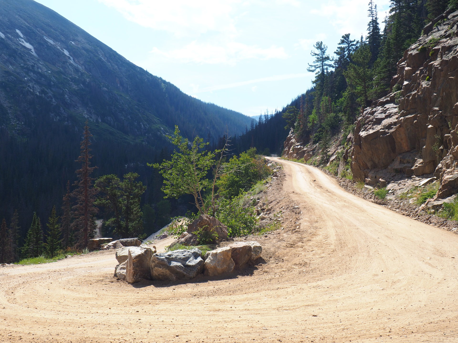
If you’re visiting the area during the summer months, you’re in luck. In case it hasn’t rained too much, you’re able to drive to the Old Valley River Road. This way you don’t have to drive the Trail Ridge road twice, albeit that wouldn’t be a punishment either.
The zigzagging and unpaved Old Valley River Road was used before the paved Trail Ridge Road was built. And while driving this dusty way, it does feel like you’ve stepped back into time.
Make sure you feel comfortable enough to cross this one-way road. It winds along cliffs and it’s impossible to turn around. So a bit of experience with driving in the mountains would be valuable. Also check if it’s gonna rain. Weather in this area can flip around easily. There’s a visitors center at nearby Aspenglen where the rangers will be helpful to answer your questions regarding any news about the road.↓
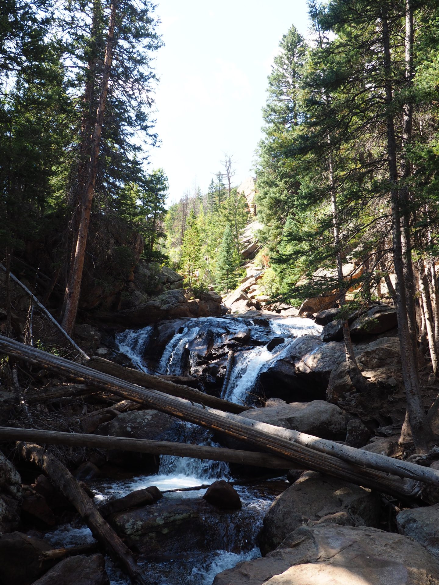
Chasm Falls
Along the Old Valley River Road this is one of the first places you may want to break. The waterfall itself isn’t that spectacular to be honest, but it’s always nice to get out of the car for a sec – and these falls are just right next to the road. ↓
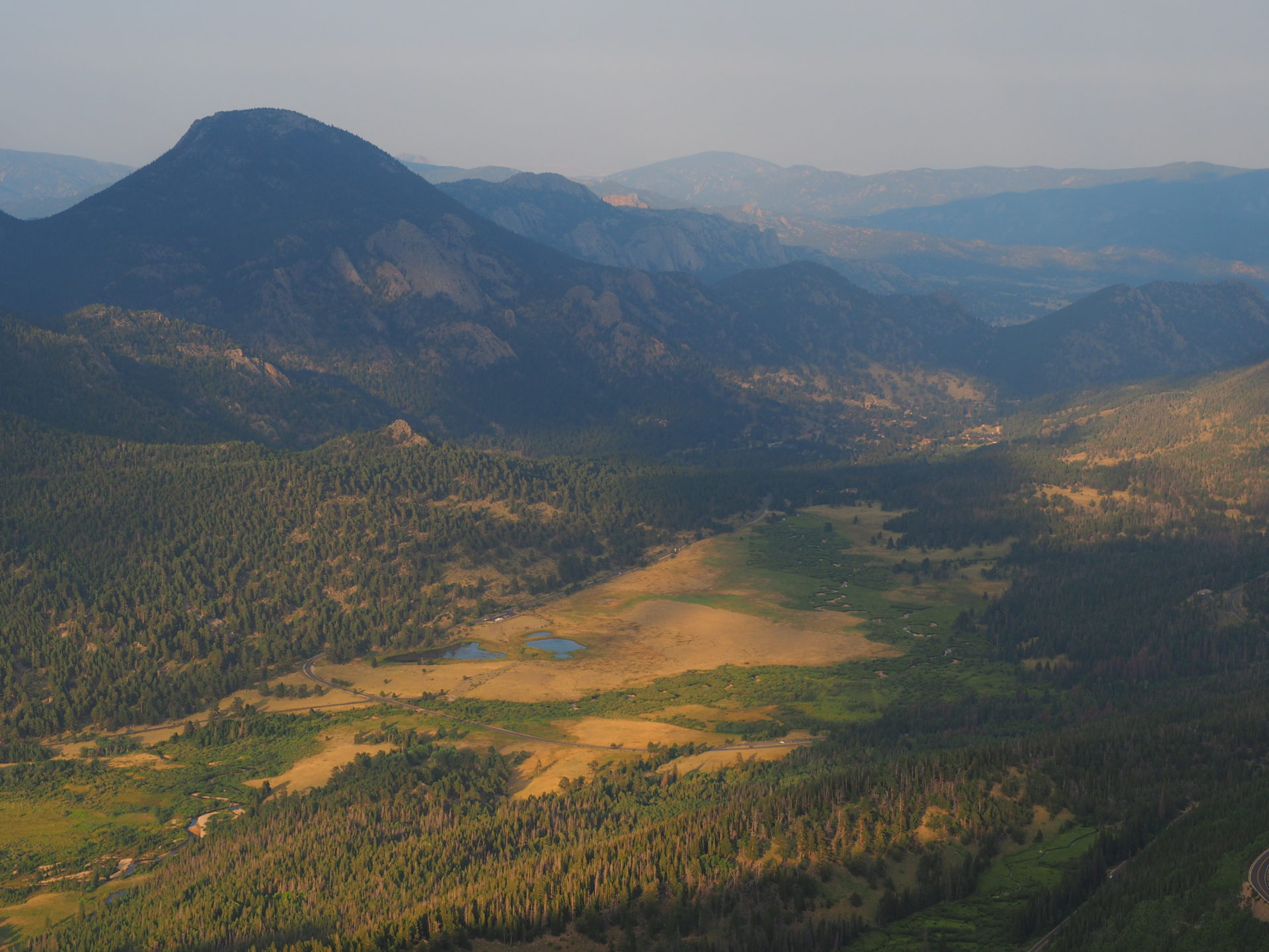
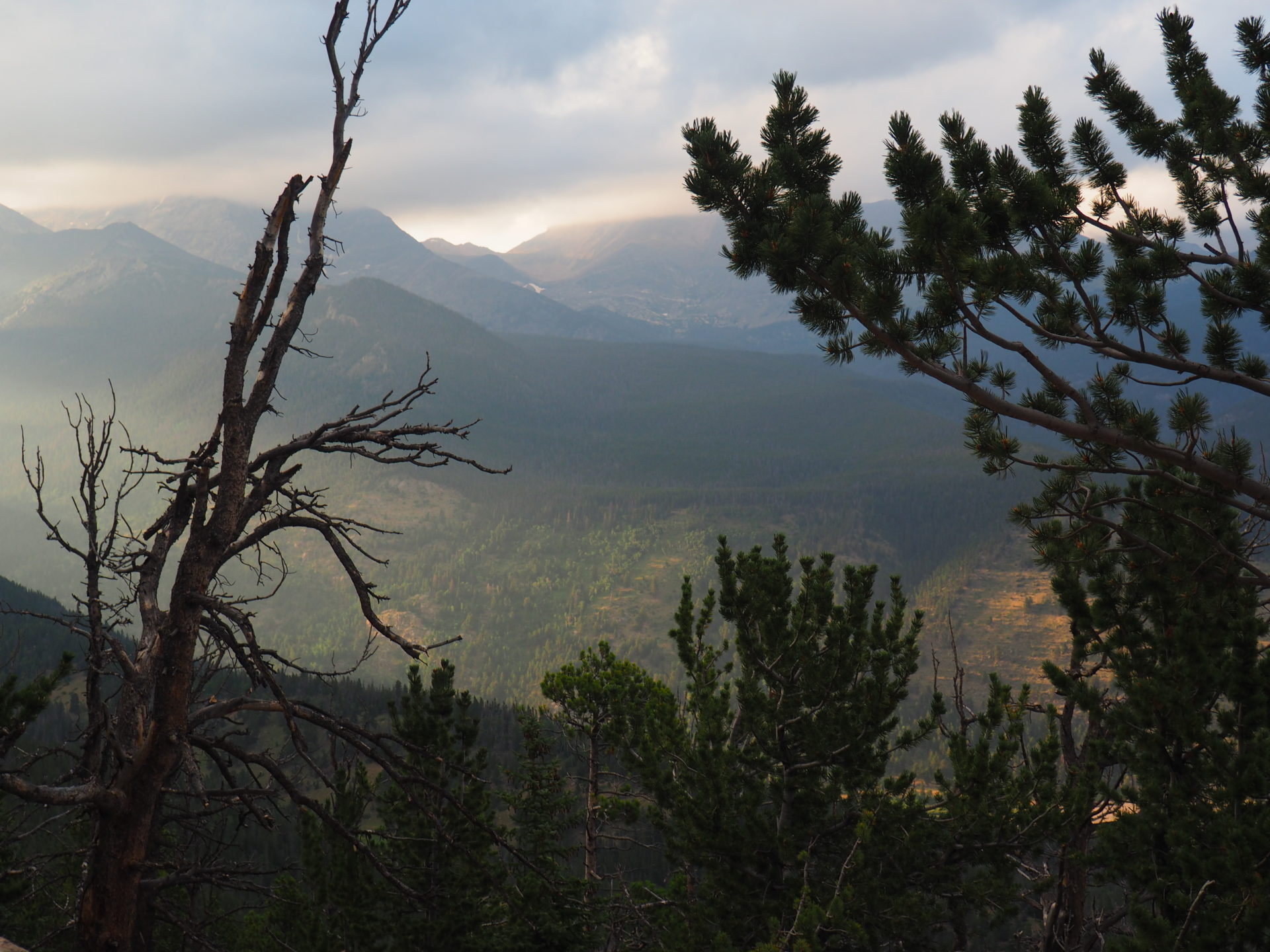
Alpine Visitor Center
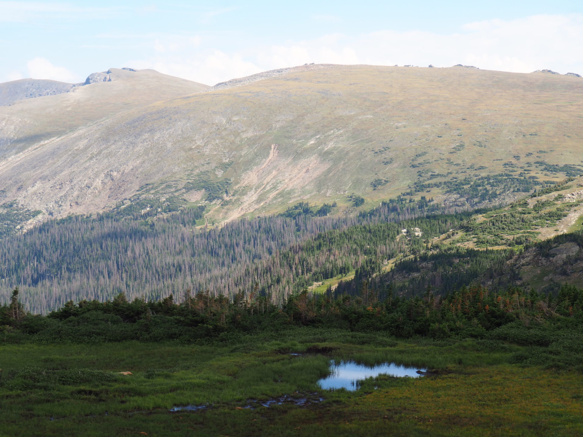
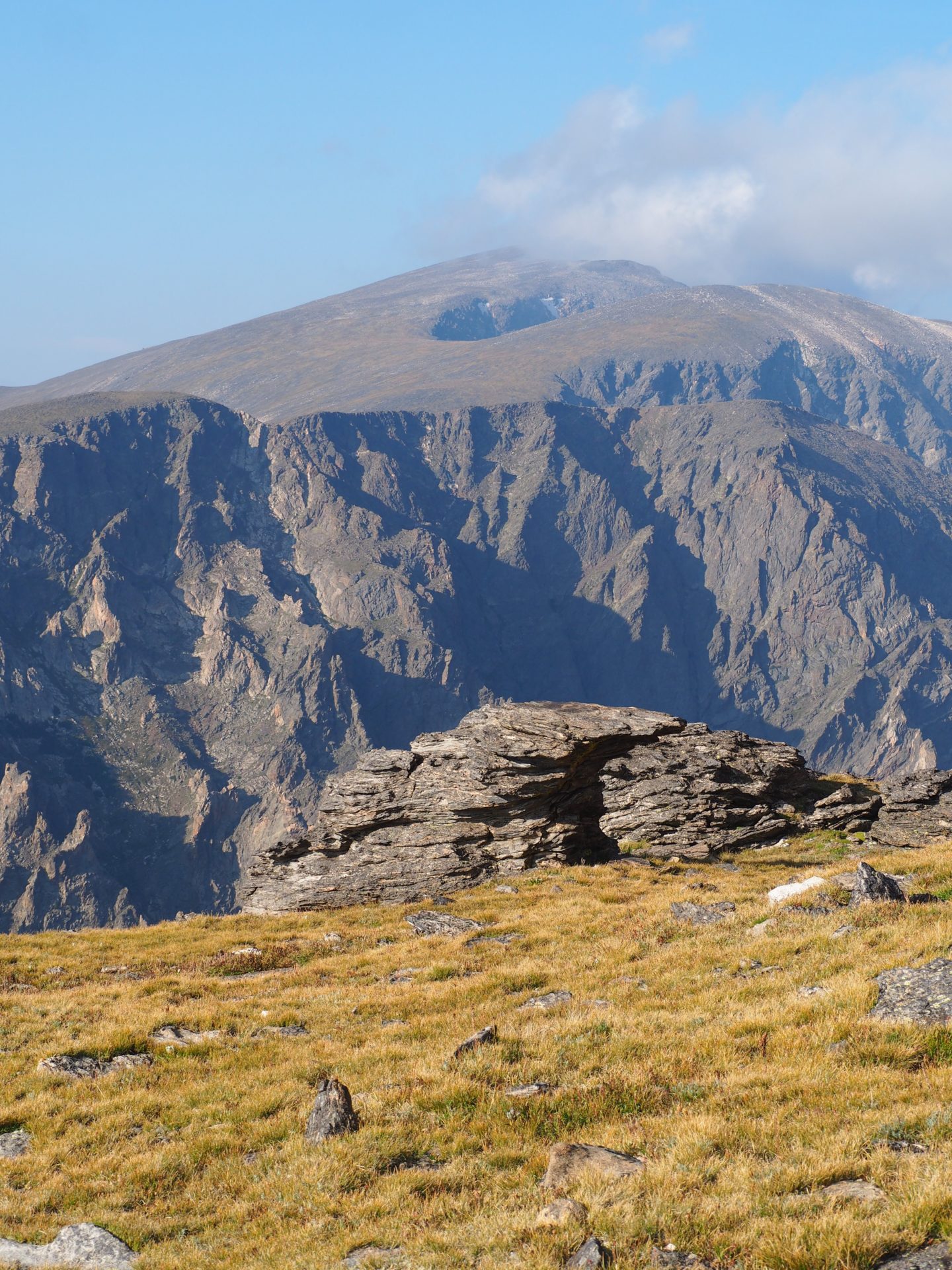
Up here you made it all the way to the end of the dirt road! From the Alpine Visitor Center you’ll be treated with decent valley views. If you want to take it a step further it’s a short, yet steep, hike up to the upper viewing point. Where you’ll see this ↓
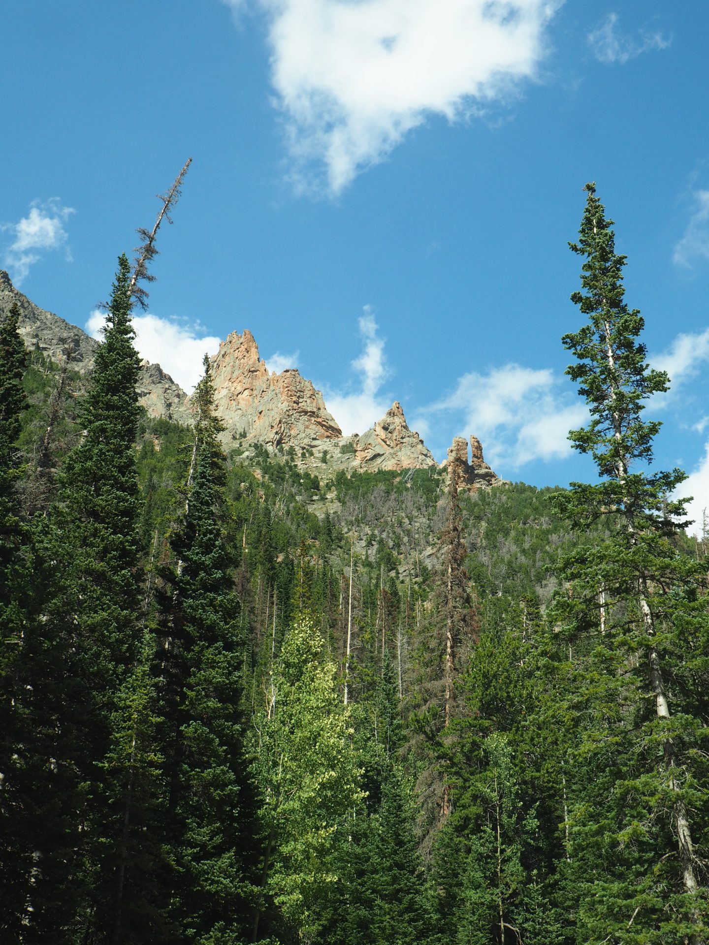
Medicine Bow Curve
From the Alpine Visitor Center you’ll turn left to reach the Trail Ridge Road. But if you’ve got a couple of minutes left you might want to turn right too. A couple of yards to that side you have a nice view on the other side of the valley where you see the Cache la Poudre River ↓
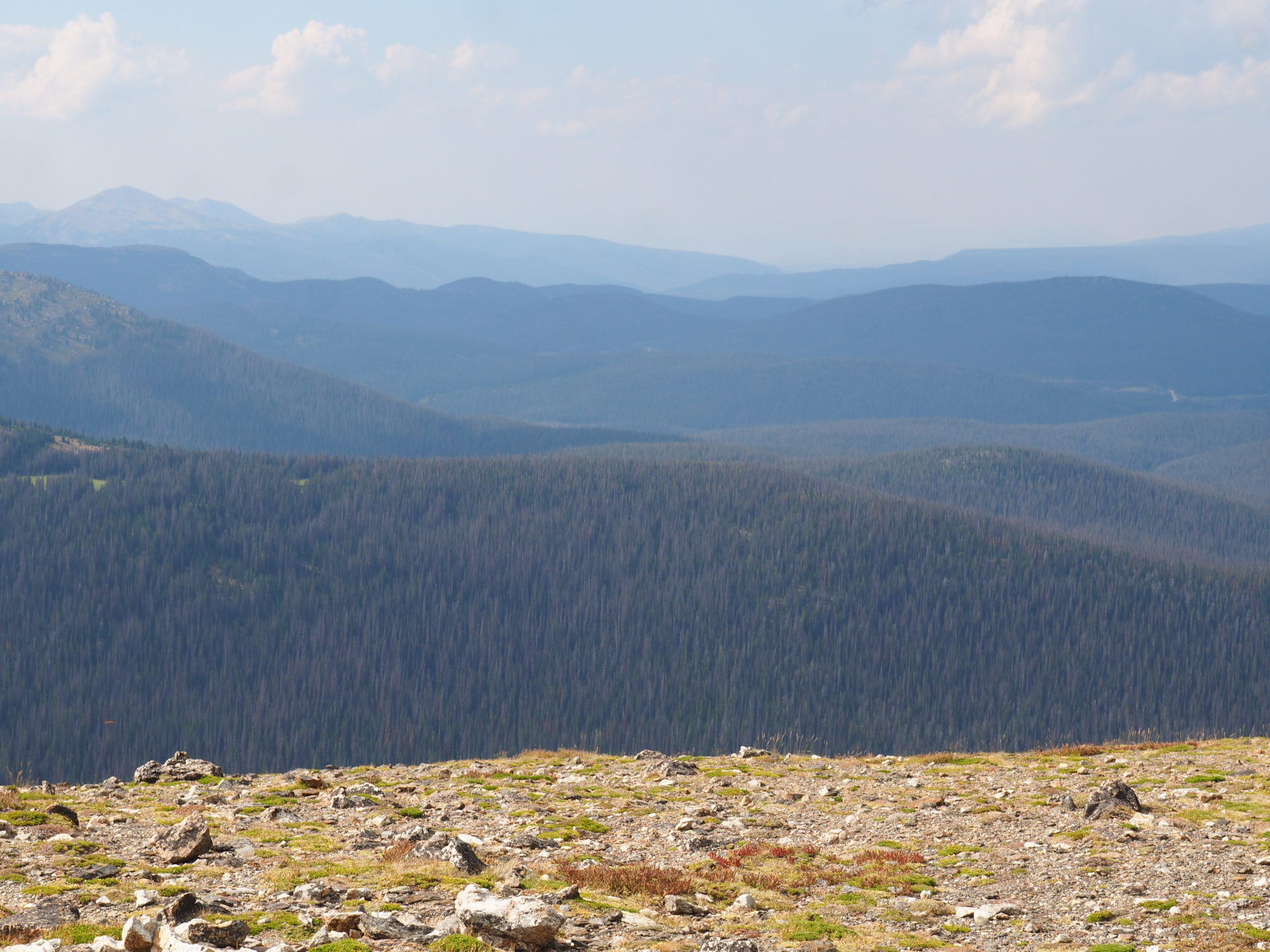
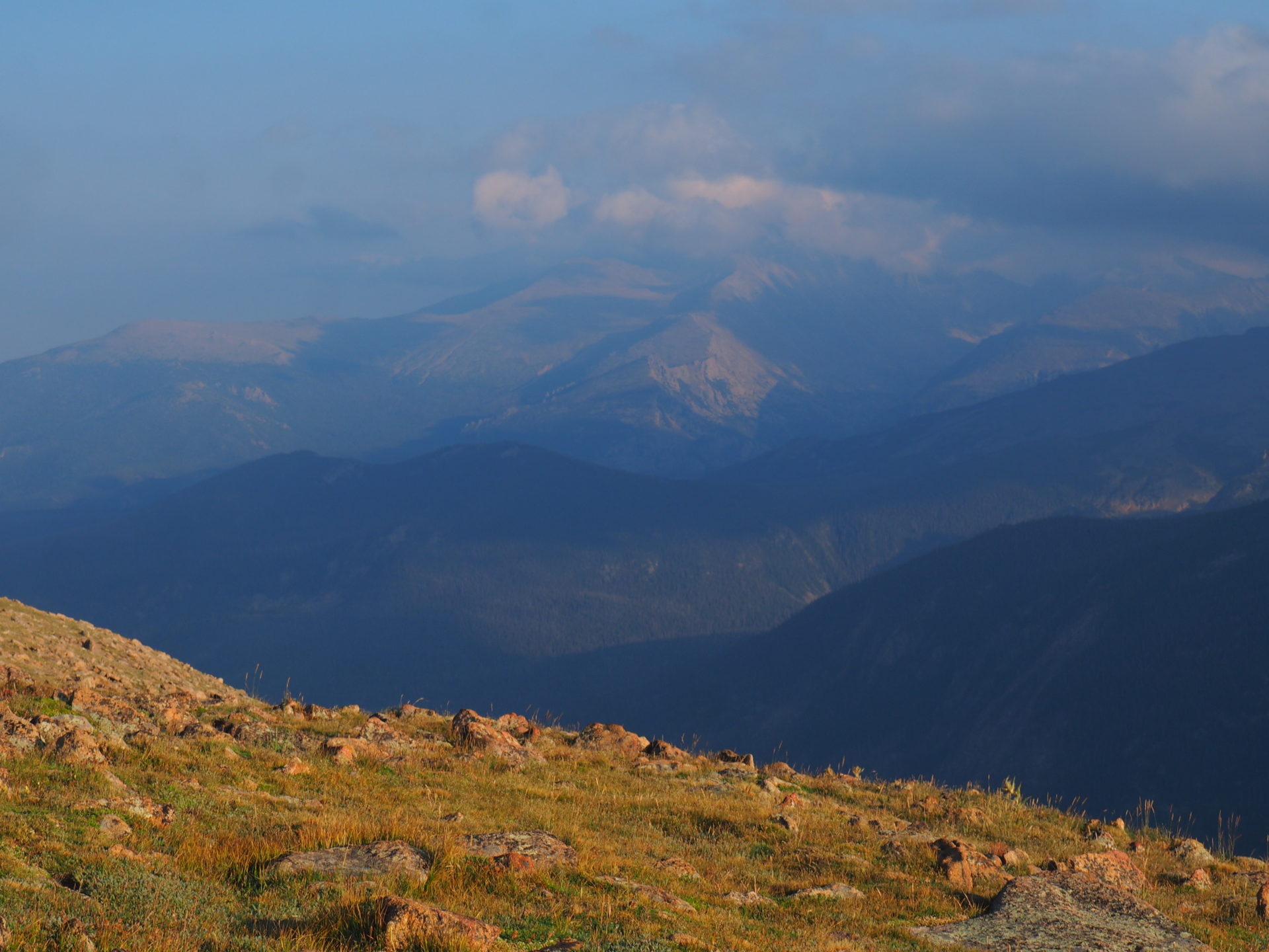
Gore Range Overlook
Once back on the Trail Ridge Road, this overlook is the first one where you’ll really feel that you’ve stepped into the tundra. Pretty cold too up here ↓
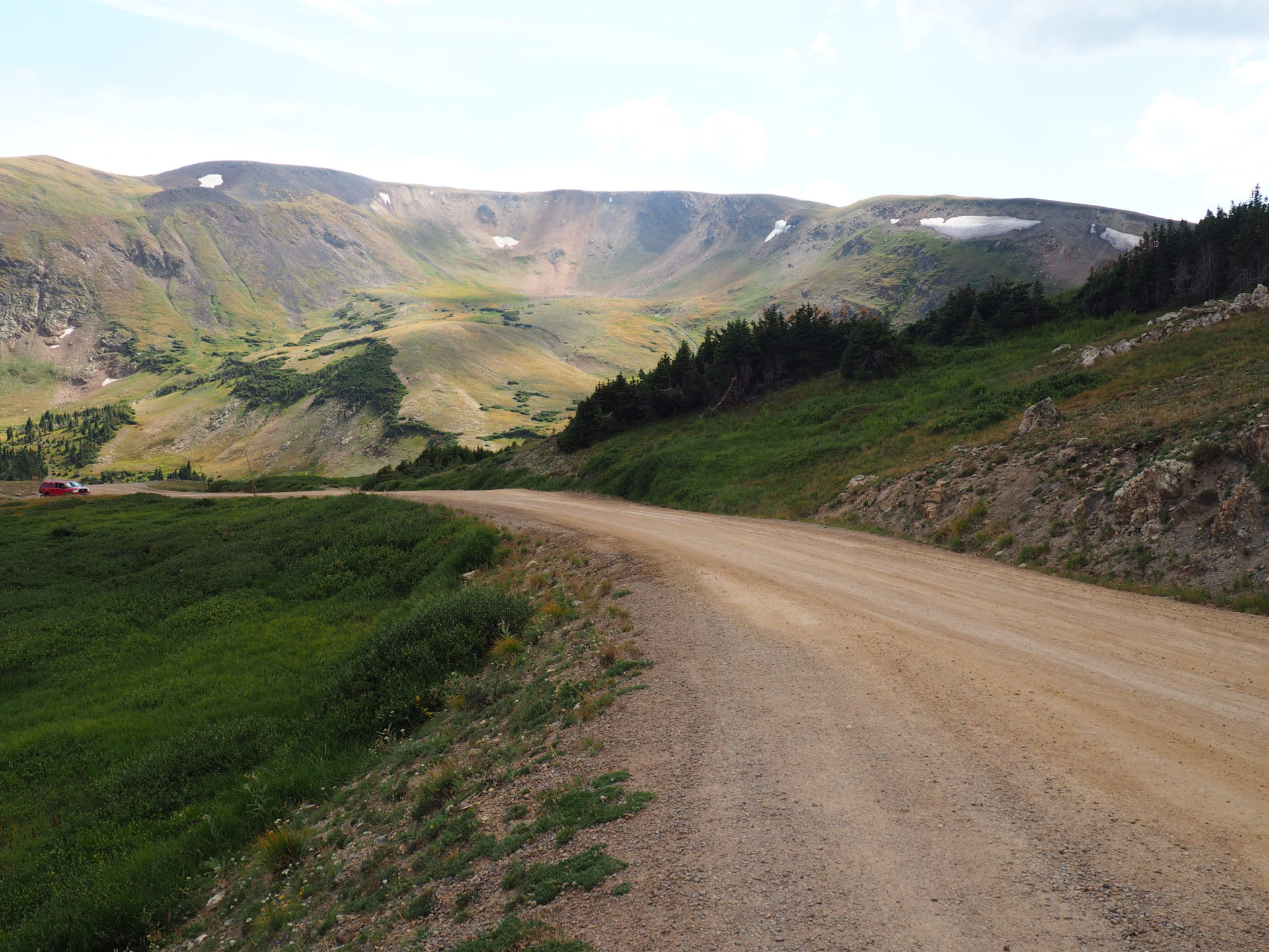
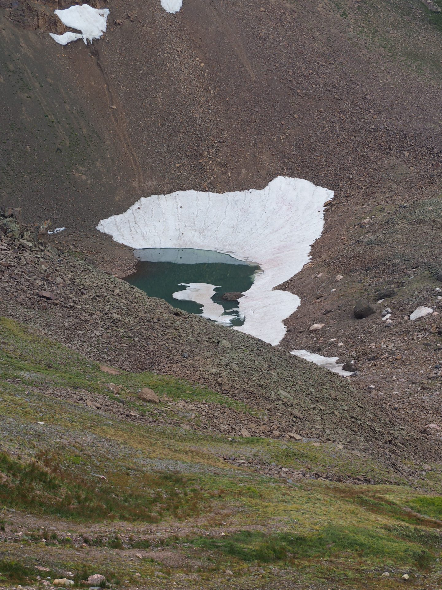
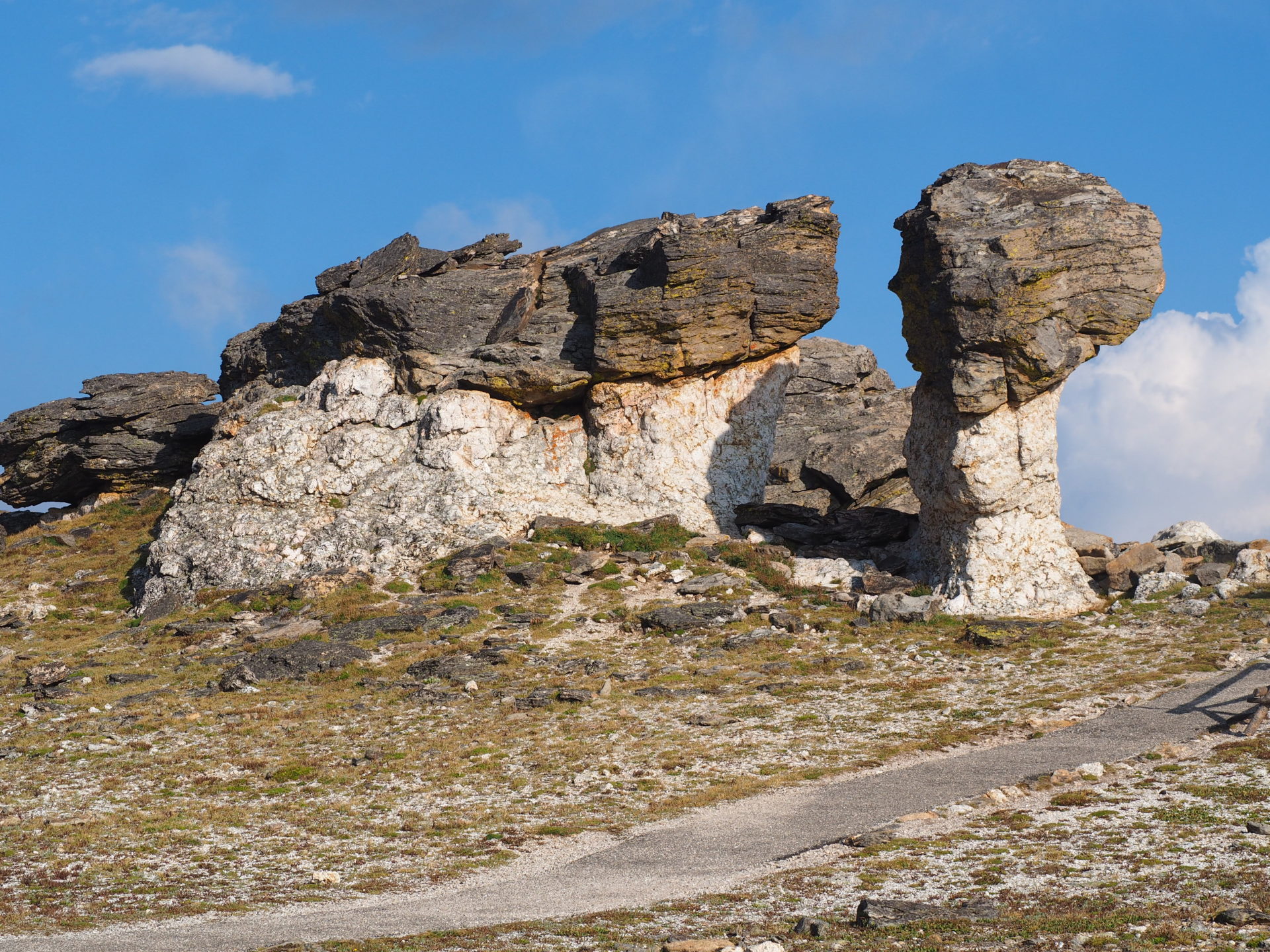
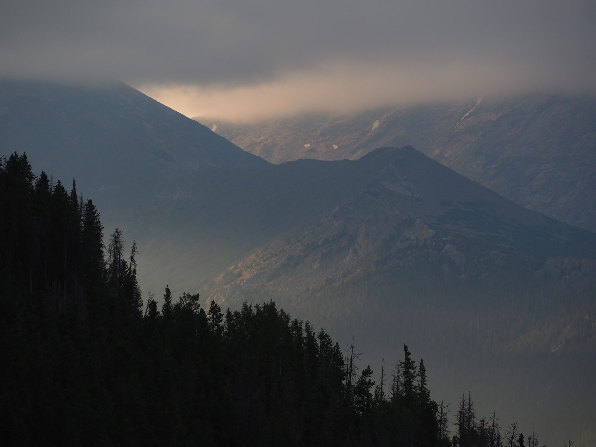
Lava Cliffs Overlook
Fond of glaciers? Even in summer you can spot some last bits of white splendidness up here. The Lava Cliffs overlook also provides a lovely view on the Old River Valley Road – fun to see the valley on the other side where you’ve been driving! ↓
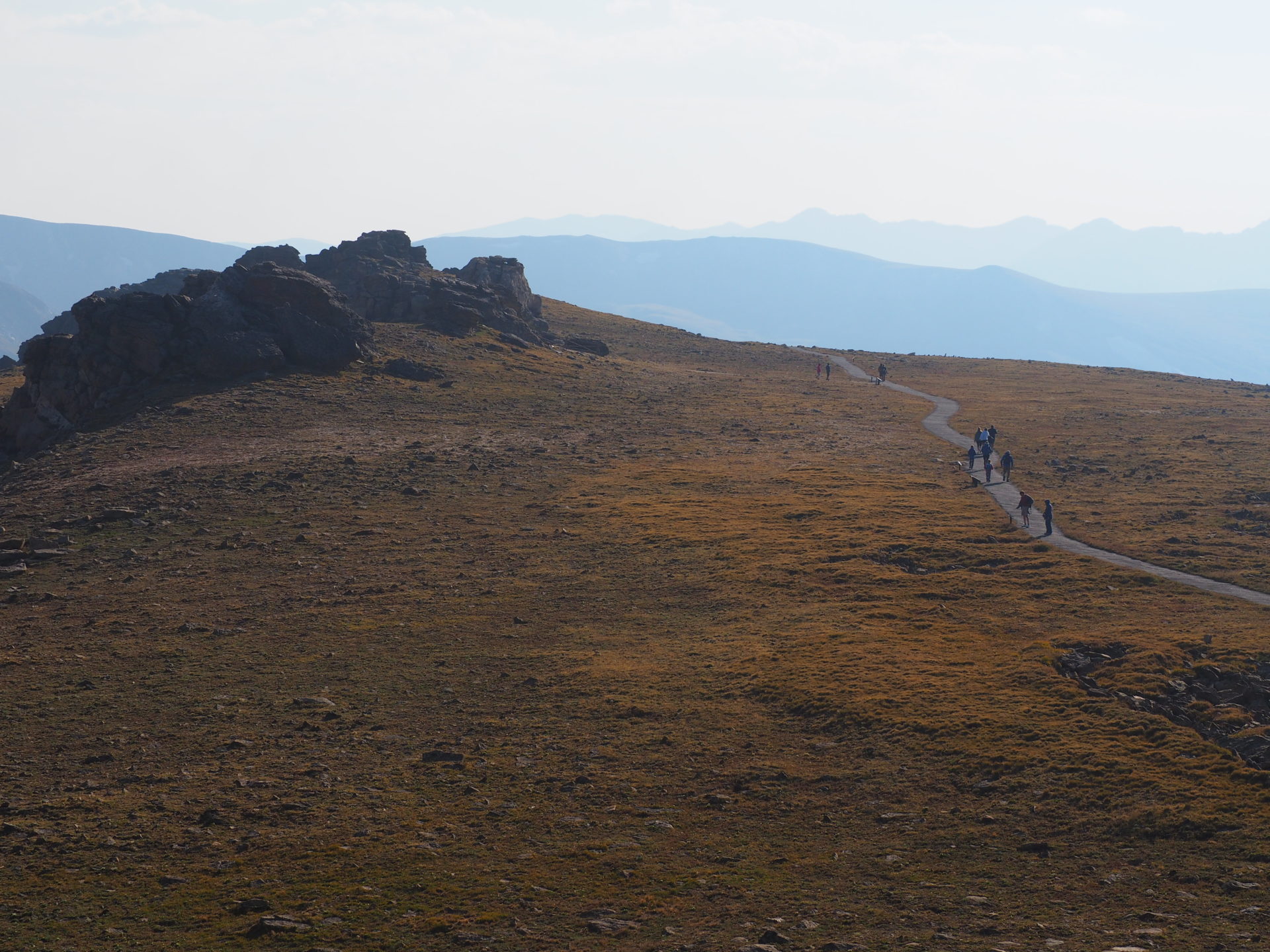
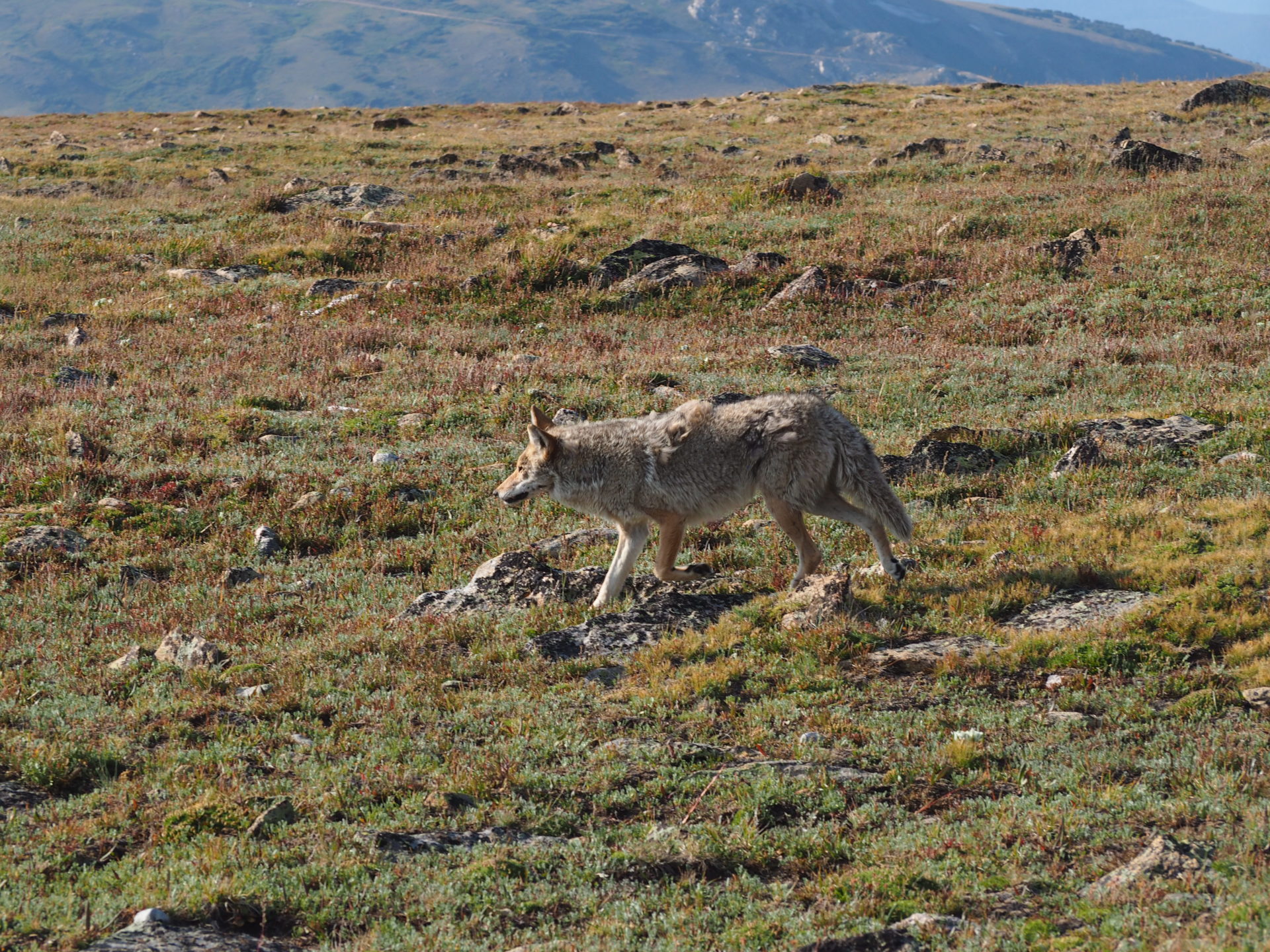
Tundra Communities Trailhead
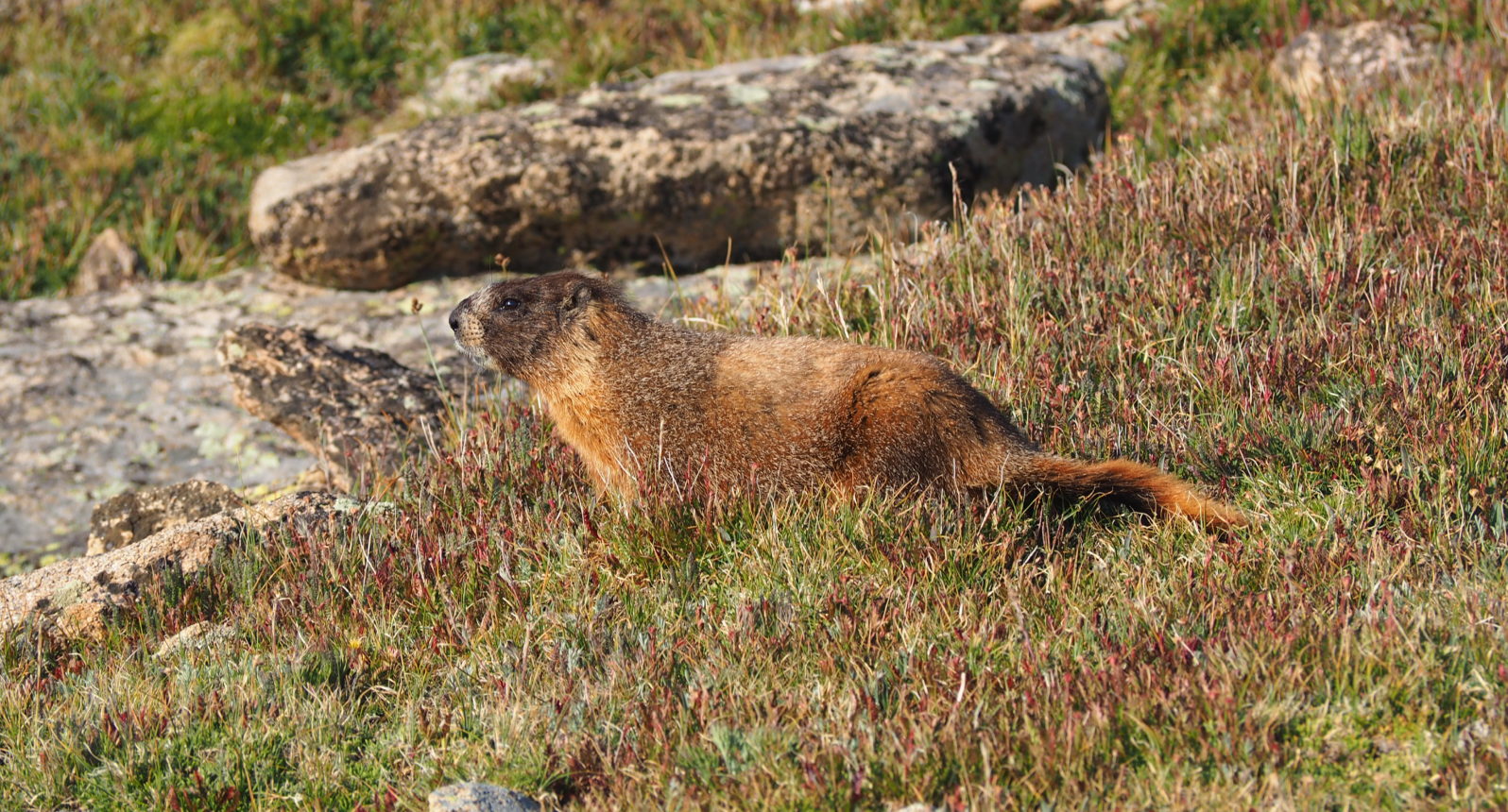
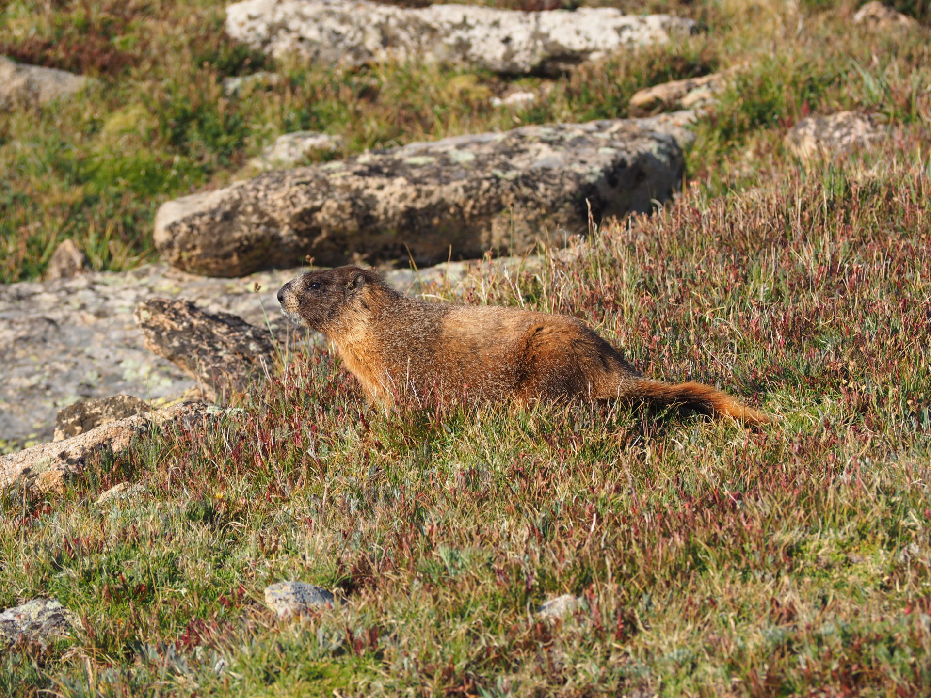
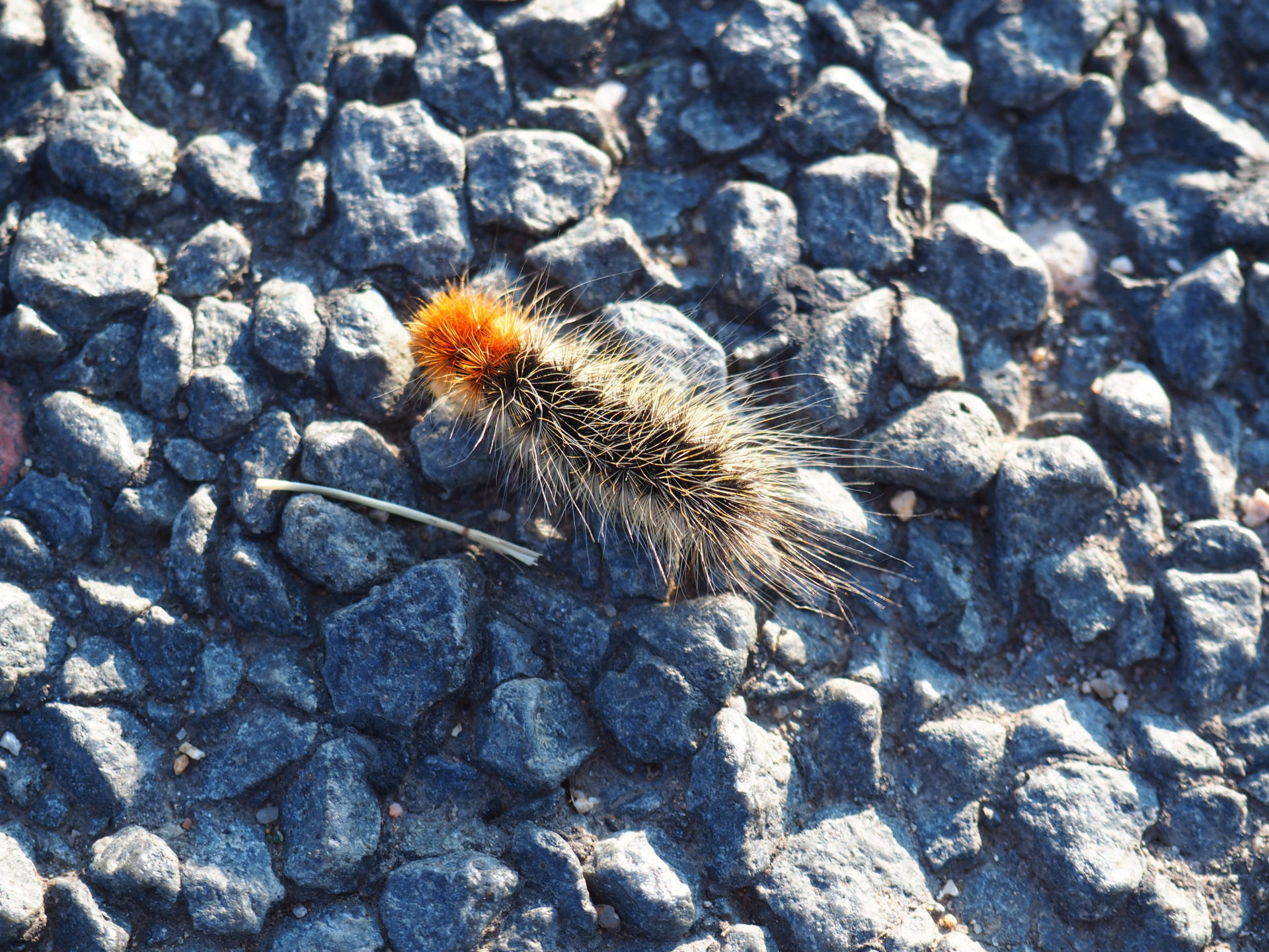
Perhaps this was my favourite stop along the Trail Ridge. Not only can you see (and certainly hear!) a lot of marmots and chipmunks – you might encounter something a little bigger too. When I walked up to the end of the trailhead, a coyote just casually walked on by. Again, I think I got lucky because few people were there at the end of the day.
The marmots you’ll likely encounter quite close to the road. Try both sides. As for the trail – it’s a small way up and though that might take you’re breath away easily at this altitude, I would suggest to hike it. The views are really worth it. ↓

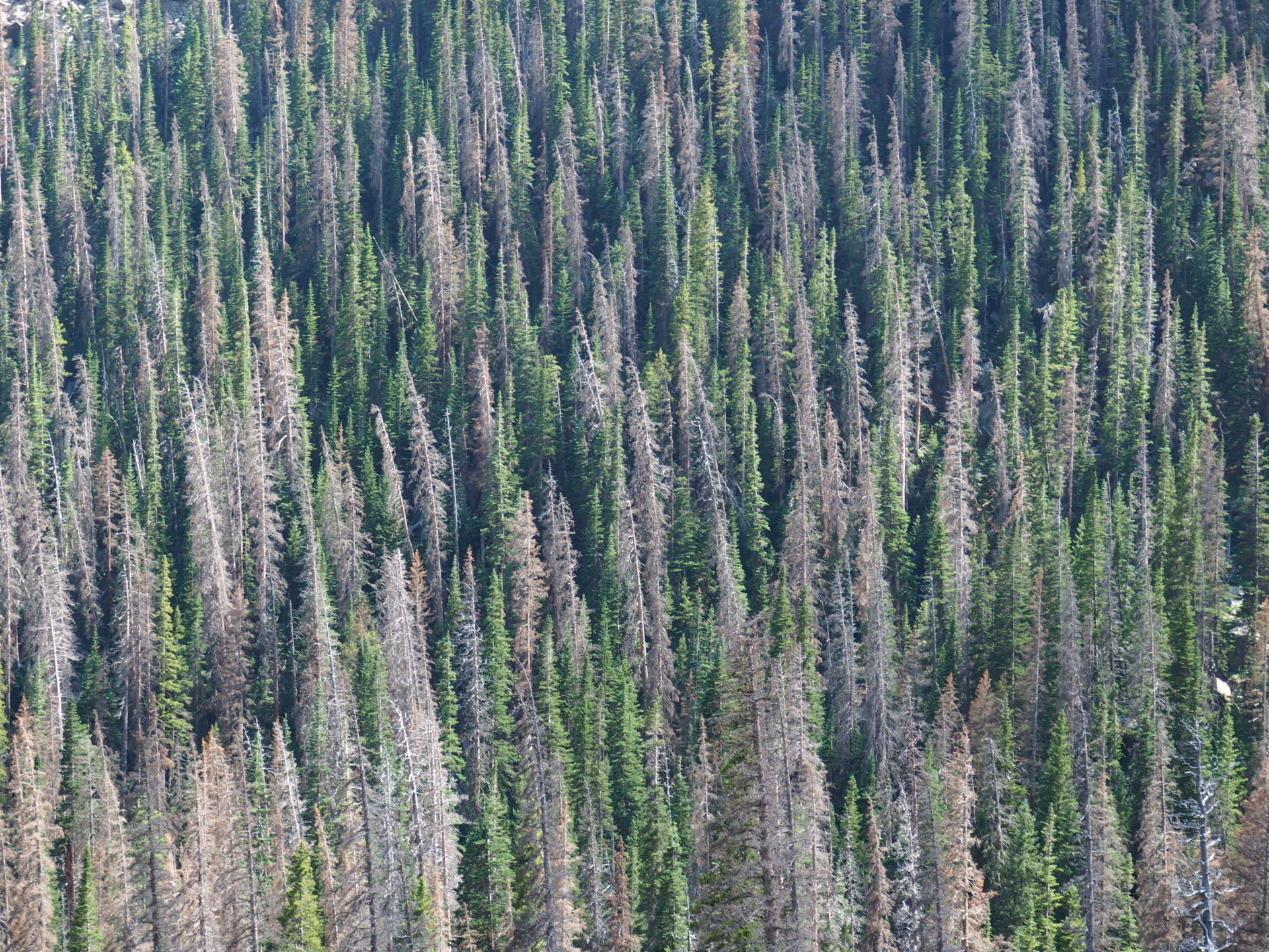
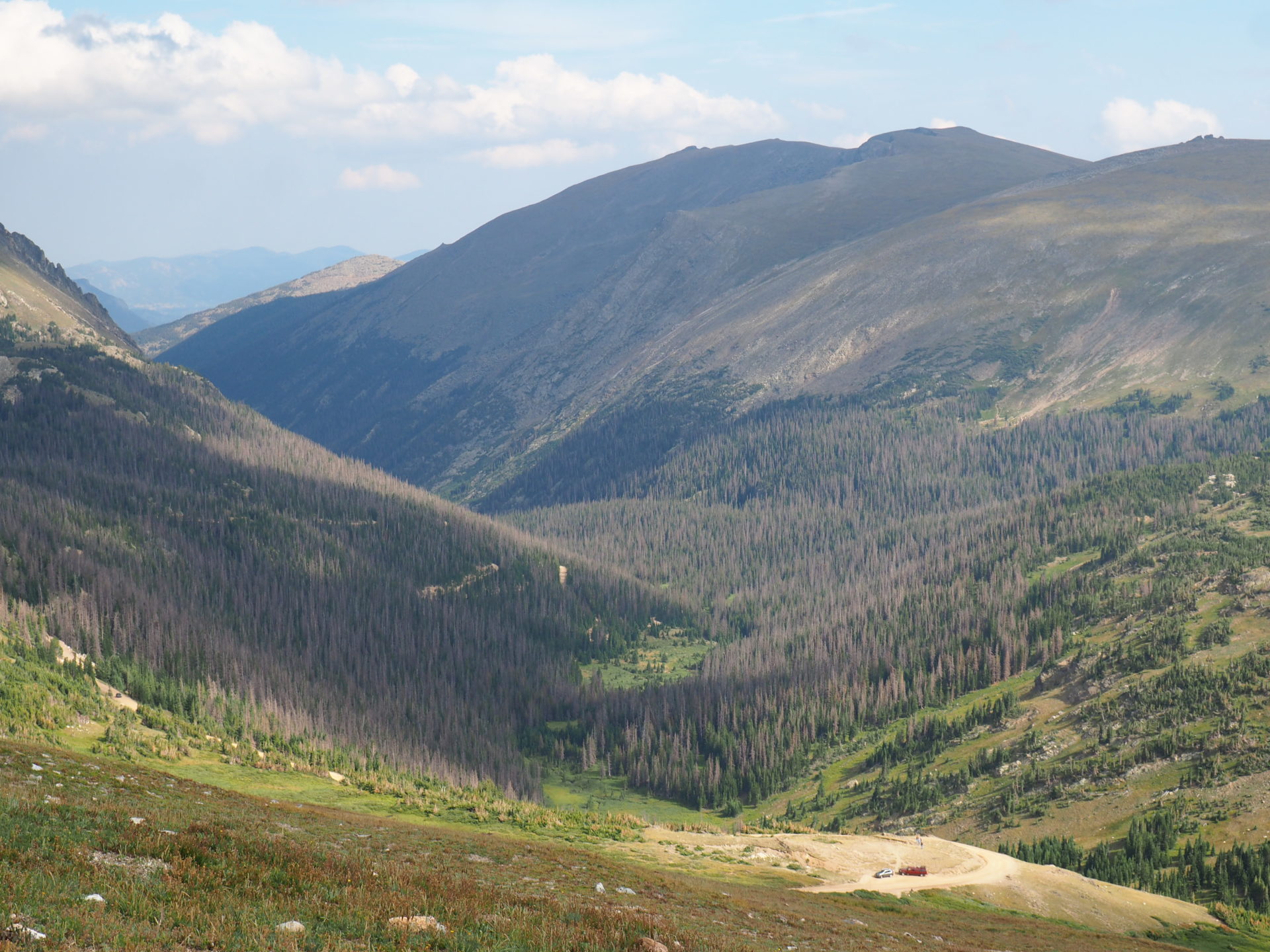
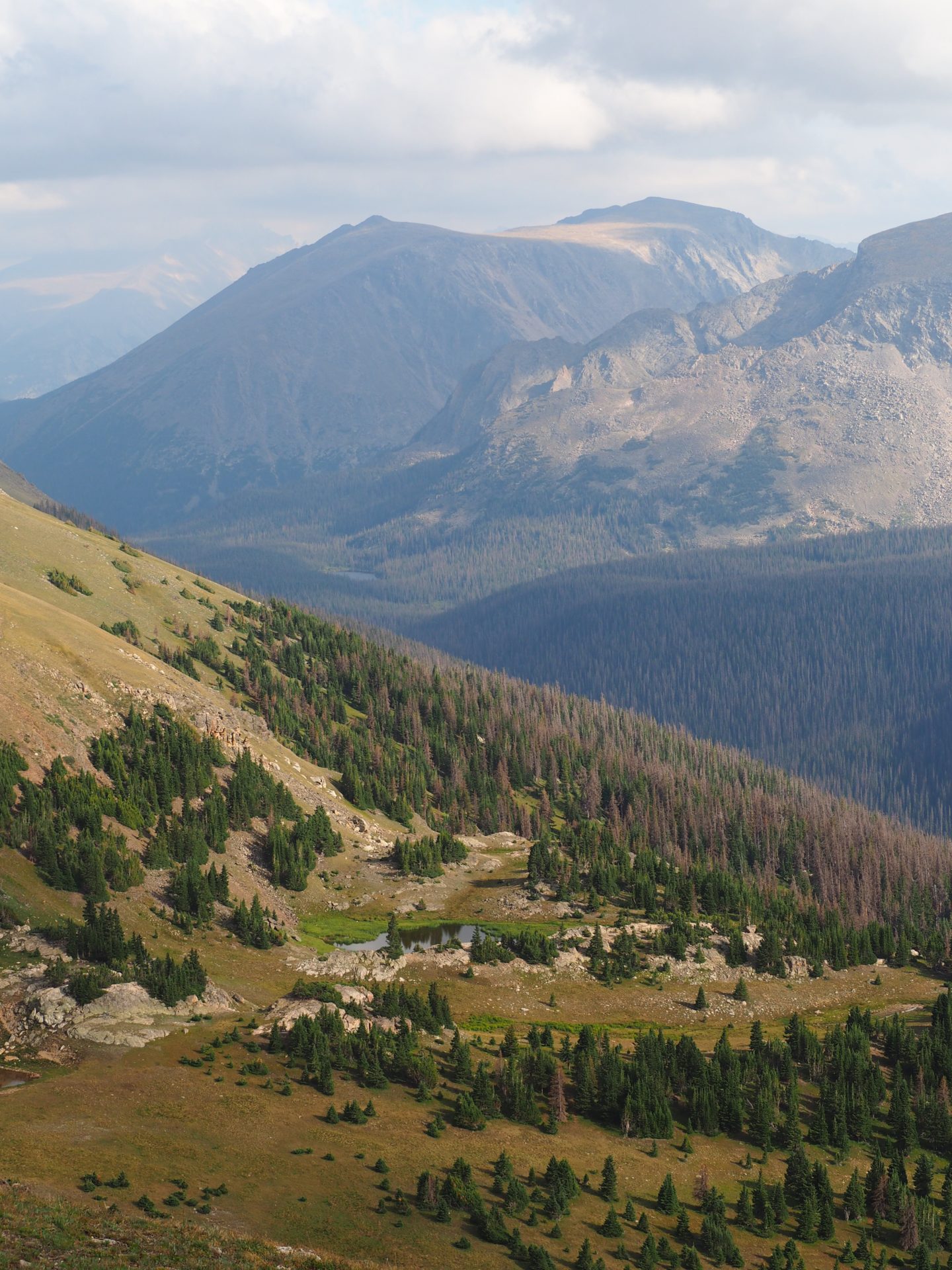
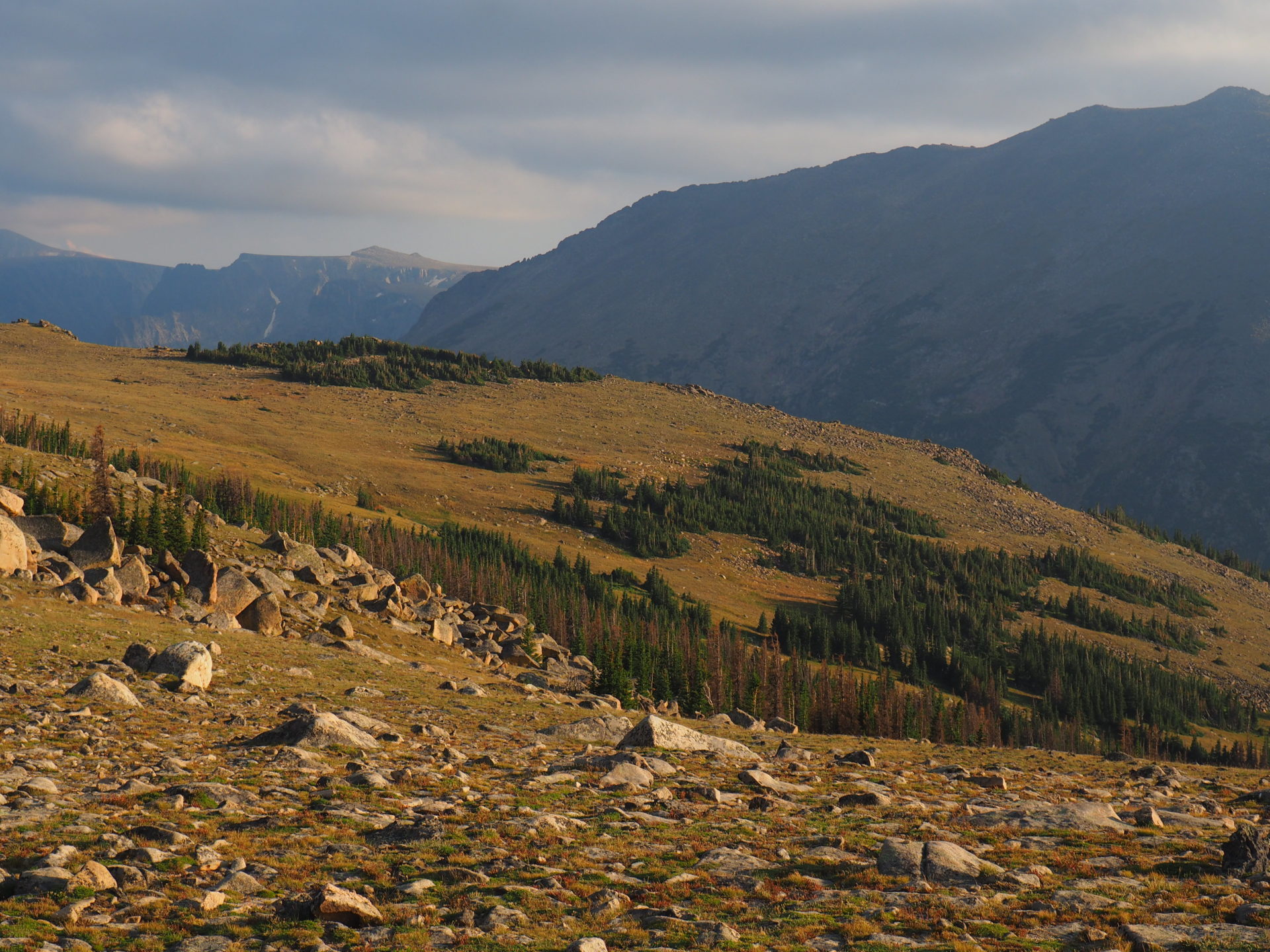
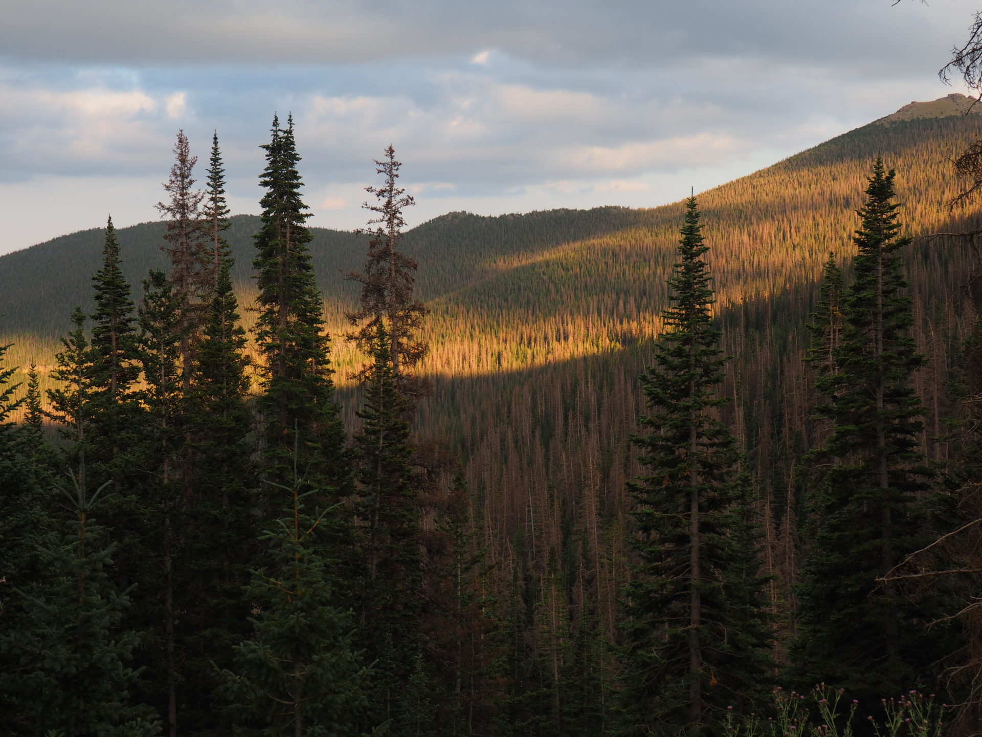
Forest Canyon Overlook
As any of the next stops really, this overlook is pretty spectacular around sunset. The forest just looks immense from up here. If you decide to stay here for the sunset, bring a jacket as it gets freakishly cold for sure! ↓
Rainbow Curve Overlook
Ah – another beautiful overview, but this time you won’t see the Forest Canyon or the Cache la Poudre River, but the Beaver Meadows.
This spot is a popular hub for Clark’s Nutcrackers and Stellar’s Jays too (those are birds you nature geek!), in case you want to release your inner ornithologist. ↓
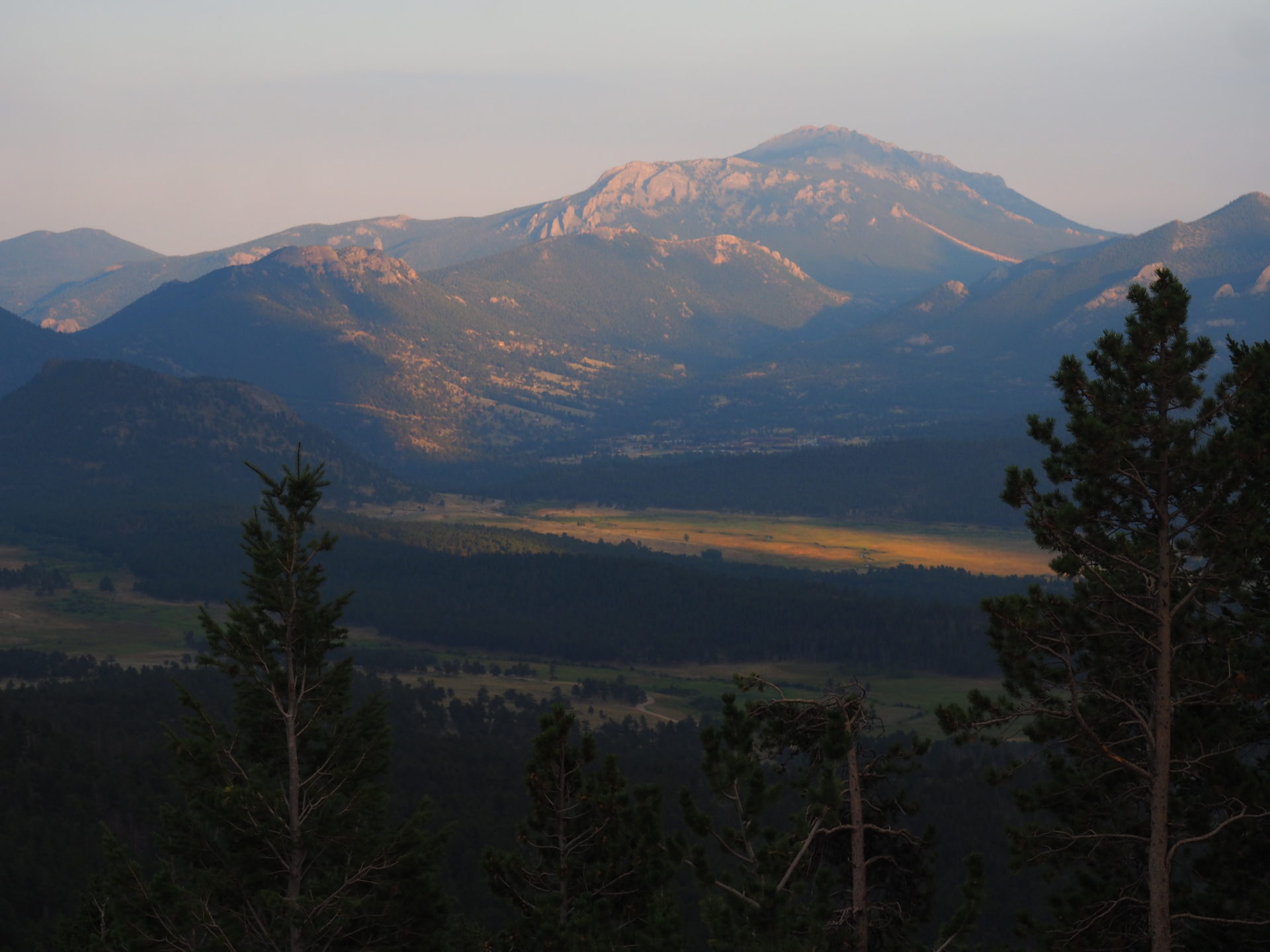
Many Parks Overlook
The road from Rainbow Curve to Many Parks is pretty scenic. Bendy too. You clearly leave the tundra in here and drive onto the gorgeous forests again. I was driving it around sunset and was able to make some neat snappies along the way. ↓
Beaver Ponds
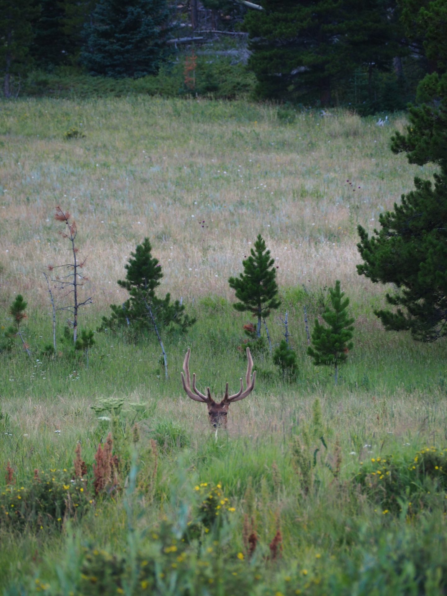
And finally you’re back on the main mammal level again! Around sunset you might easily spot deer mules, elks or other large and small creatures in here. For this elk it clearly was difficult to play hide and seek, as he forgot he was wearing such a crown! ↓